The Sable Island Institute (SII) is working towards a program of engaging and responsive online opportunities for people to connect with the island. We begin with this StoryMap created in collaboration with the Centre of Geographic Sciences (COGS). This random selection of >100 photos illustrates sights and artifacts you might encounter if you were wandering on the beach or through inland areas of Sable.
Below is a screenshot from the site: photo thumbnails on the left and a map on the right. Pointers showing where photos were taken are displayed on a 2014 basemap of the island. Clicking on the blue pointers or photo thumbnails will connect the scenes and the locations, and provide a full view of photos with text descriptions. The basemap is provided by Service Nova Scotia and Internal Services, and the site is powered by Esri.

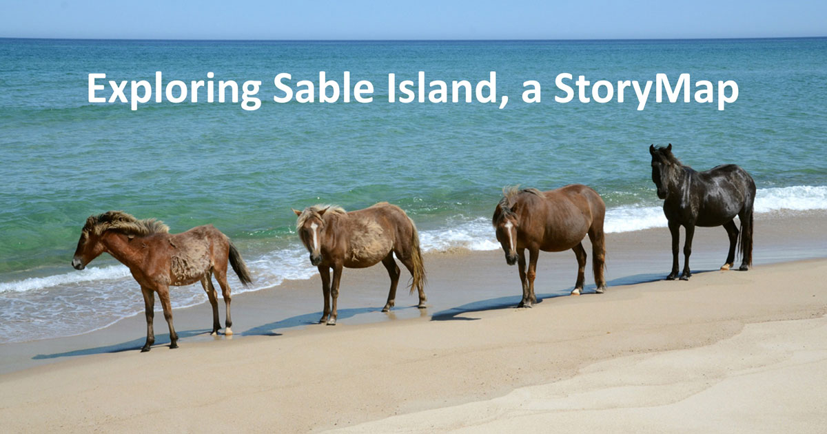
Exploring Sable Island, a StoryMap
Zoe provided the content, and COGS student Anneke van der Laan (GIS Graduate, 2022) brought the material to life with her creation and design of the StoryMap. The SII greatly appreciates Anneke’s effort, creativity, and enthusiasm, and her commitment to the project (and we eagerly look forward to working with her again). We also thank David Colville (COGS) and artist Sally O’Grady for their expertise, guidance, and most enjoyable online meetings.
Zoe Lucas, April 22, 2022
Sable Island Institute
2 Responses
This is so interesting!! Well done! It’s easy to use and gives the viewer a close-up, on-the-ground view of the entire island! Really fascinating. I am going there this summer – now I know what to look for.
THANK YOU ZOE FOR THE NICE PHOTOS OF SABLE ISLAND VERY NICE NORMA STEPHENS DART NS